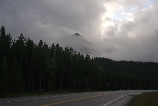
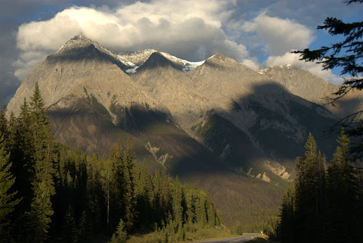
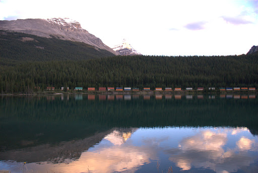
Our next target was Jasper National Park. Situated northwest from Banff, the park has an amazing amount of scenery and wildlife. We traveled on route 93 up to Jasper town, visiting sites along the way. The elevation in this area is in the range of 1500 meters to 3000 meters (1 to 2 miles), depending on which mountain or pass you travel through and all around us we could see tree-covered peaks and streams.
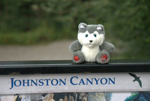
Our first stop was Johnson Canyon, an easy walk up to see the lower Johnson Falls, an nice but non-impressive waterfall. The nice thing was that you could go into a small cavern and come out nearer the water that was falling down.
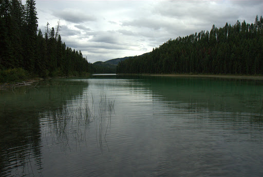
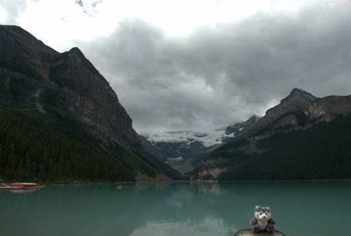
Our next stop was Lake Louise, definitely a gem. The lake is at the base of a glacier that's slowly melting and filling it in. During the winter the lake freezes off completely and the glacier is replenished (though ever since global warming it's not being replenished as much). During summer the glacier melts and fills in the lake.
 We kept on driving and saw one more glacier-melt lake, Lake Peyto. The amazing turqoise color is due to the melting water carrying with them pieces of the rock. As they reach the lake, the small components mix in the water and light coming in breaks in a way that green and blue light is reflected back.
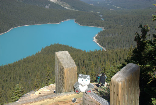
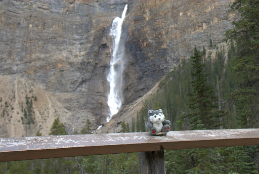
Tragedy at Sunwapta Falls
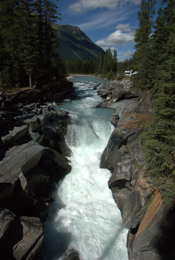
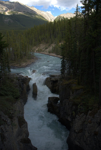
Then we reached Sunwapta falls. At Sunwapta falls, water falling down some 20 meters down from a higher valley and onto a the Athabasca valley. The river has been cutting through the rocks for the past 10000 years, since the last ice age. As the river cuts more and more, it slowly moves back, leaving high canyon walls behind it.
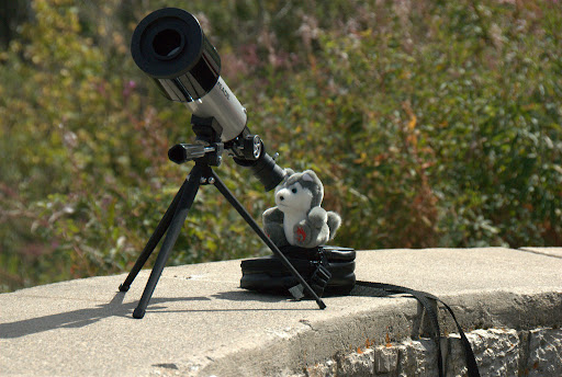
 As we stood there taking pictures of the falls, Pepper was modeling near the long fall down.
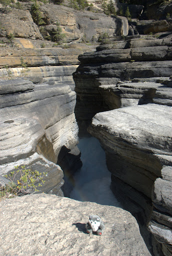
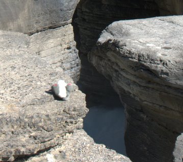
As I turned around there came a gust of wind.
And then Pepper was on his side.
And then he was bouncing off towards the precipice.
And then he went head first into the Sunwapta crevice.
This is his last known picture.
 Was it an accident and the wind swept him off the ledge? Was it murder? A suicide? Was he just tired of modeling, the long hours, hard work and needing to throw up after every meal? We'll never know... All we know is that the river's flow is very strong and we're not hopeful.
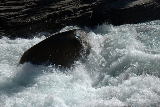
A Starbucks Wasteland
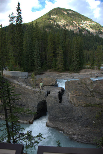
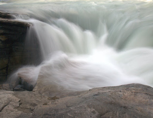
As Pepper took a course down to the Athabasca valley and onto the Saskatchewan river, we continued our trip to the last stop before Jasper town - the Athabasca falls. The Athabasca falls are a massive flow of water that's been cutting into the rock for the past few thousands of years. Every once in a while, the river finds a new channel a few meters to one side or the other and leaves a dry canyon behind it.
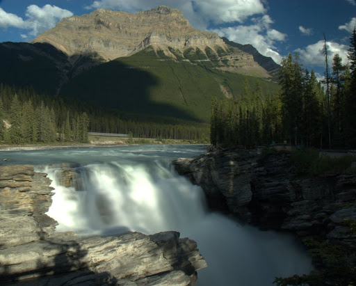 You can cross the river and see the falls from various angles. It's amazing to see how deep the falls are and how strong the current is.
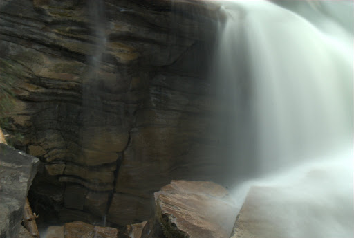
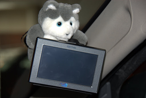
 Our then drove through Jasper town and onto Hinton where we were sleeping the night. The town of Hinton, while bigger than Jasper and outside of the park, serves mostly as a truck stop. There's not much to do here except go to Wal-mart of Safeway. In the morning, we started with our now-standard ritual. We bought some bagels and stuff at Safeway, then opened up Samantha (The GPS) and asked it for a listing of Starbucks shops in the area. So far, we've been able to find a Starbucks anywhere we went but imagine our surprise when the nearest Starbucks stores were over 100km away.
We asked at Safeway and they said Starbucks hasn't made it there but if we want we can go to Tim Horton's. For the uninitiated, Tim Horton sells sandwiches and some coffee. The selection is limited to 5 types of coffee. Only 5. It's like being a kid again with only one TV channel and sometimes being able to pick up the South Lebanon television station as an added bonus. Tough.
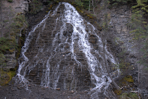
For the next two days, we toured Jasper, checking out the local sites. We trecked Maligne Canyon, formed by a stream coming from Medicine lake. The interesting thing is that the stream is not the main way for water to leave the lake. Water flows from the bottom of the lake through the mountains and joins the main stream as side channels coming out of the canyon walls. We also saw this very cool water flow coming down the layered rock face.
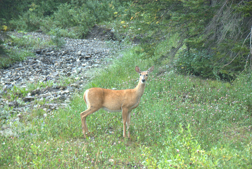
 More impressive, however, was the local wildlife. While not tame, the animals are not so afraid of humans and so come down to the roads. Here's a male Canadian mountain goat (I think). It stopped in the middle of the road while tour busses and cars slowly drove around it.
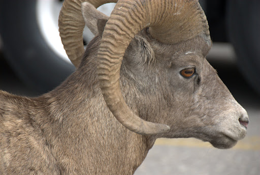 A couple of females were feeding nearby and omer managed to get close to one of them.
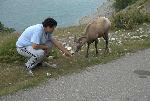 But mostly we went looking for Moose and Elk. The guide book said that the best place to see them was outside of Jasper town. They seem to like the grass there.
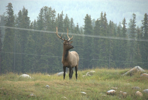 A local also told us that this is mating season and a few tourists had to be saved from an Elk that was going through town rounding up the local females. We didn't see it but we saw a couple of younger males doing the discovery-channel-fighting-it-out-for-control-of-the-herd dance (I'm sure it's just one word in the local Inuit language).
 When they were done, one slunk away while the other raised its head and pissed all over the hill. I'm sure there's an Inuit word for that too.
This concludes part 2 of Canadventure.
Technorati Tags: Canada, Rockies, Canadian Rockies, Sunwapta Falls, Athabasca Falls, Jasper, Maligne Canyon, Elk, Starbucks, Travel Blogs, Eran Davidov